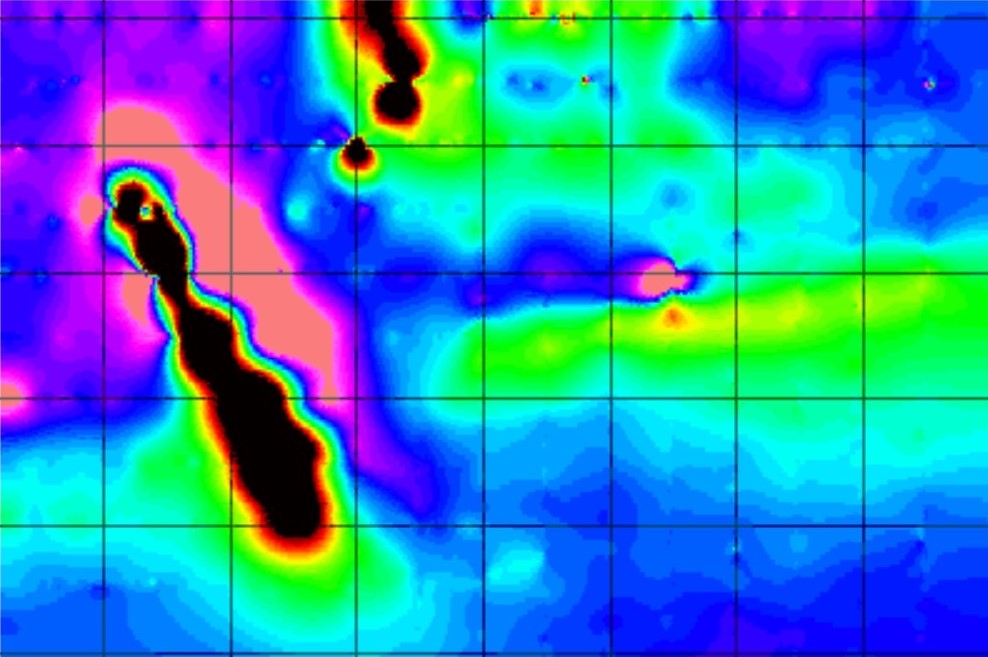
Ground-based magnetometer surveys are an important component of mineral exploration programs aimed at discovering mineral deposits in the western United States. This geophysical technique involves measuring variations in the Earth’s magnetic field which can yield insights into subsurface geology.
Methodology
Survey Design: The survey area is divided into transects along which measurements are taken at regular intervals. This systematic approach is designed to provide thorough coverage of the area being explored.
Data Collection: Using portable magnetometers, technicians hike each transect to measure the intensity of the magnetic field across the survey area.
Data Processing: The collected data is processed to check data quality, remove noise, and interpolate between transects.
Analysis
Anomaly Identification: Magnetic anomalies are identified and analyzed to determine their size, shape, and intensity. These anomalies may suggest the presence of mineralized bodies or geological structures such as faults and folds.
Correlation with Geological Data: The magnetic data is often correlated with geological mapping and other geophysical or geochemical data to refine target areas for further exploration.
Advantages
Non-Invasive: Ground-based magnetometer surveys are non-invasive and environmentally friendly, causing minimal disturbance to the survey area.
Cost-Effective: They provide a cost-effective means of covering large areas, helping to identify potential mineral deposits.
Detailed Subsurface Insights: This method provides detailed insights into the subsurface geology, aiding in the identification of ore bodies and geological structures that control mineralization.
In the western US, magnetometer surveys are widely used to explore for a variety of minerals, including precious metals like gold and silver, and base metals such as copper and iron. The region’s complex geology, with its diverse rock types and extensive mineralization, makes this method particularly valuable in locating new mineral deposits. Ground-based magnetometer surveys are a vital tool in the mineral exploration toolkit for hard rock deposits in the western United States. They offer a cost-effective, non-invasive means of identifying promising targets for more detailed exploration, thus playing a key role in the discovery and development of mineral resources.
Geotech Direct provides geophysical services, including magnetic surveys, VLF-EM surveys, and IP/resistivity surveys. We know how important quality data collection and interpretation are to the success of your project.
For more information, contact kevin@geotechdirect.com
Geotech Direct offers a range of services for mineral exploration including:
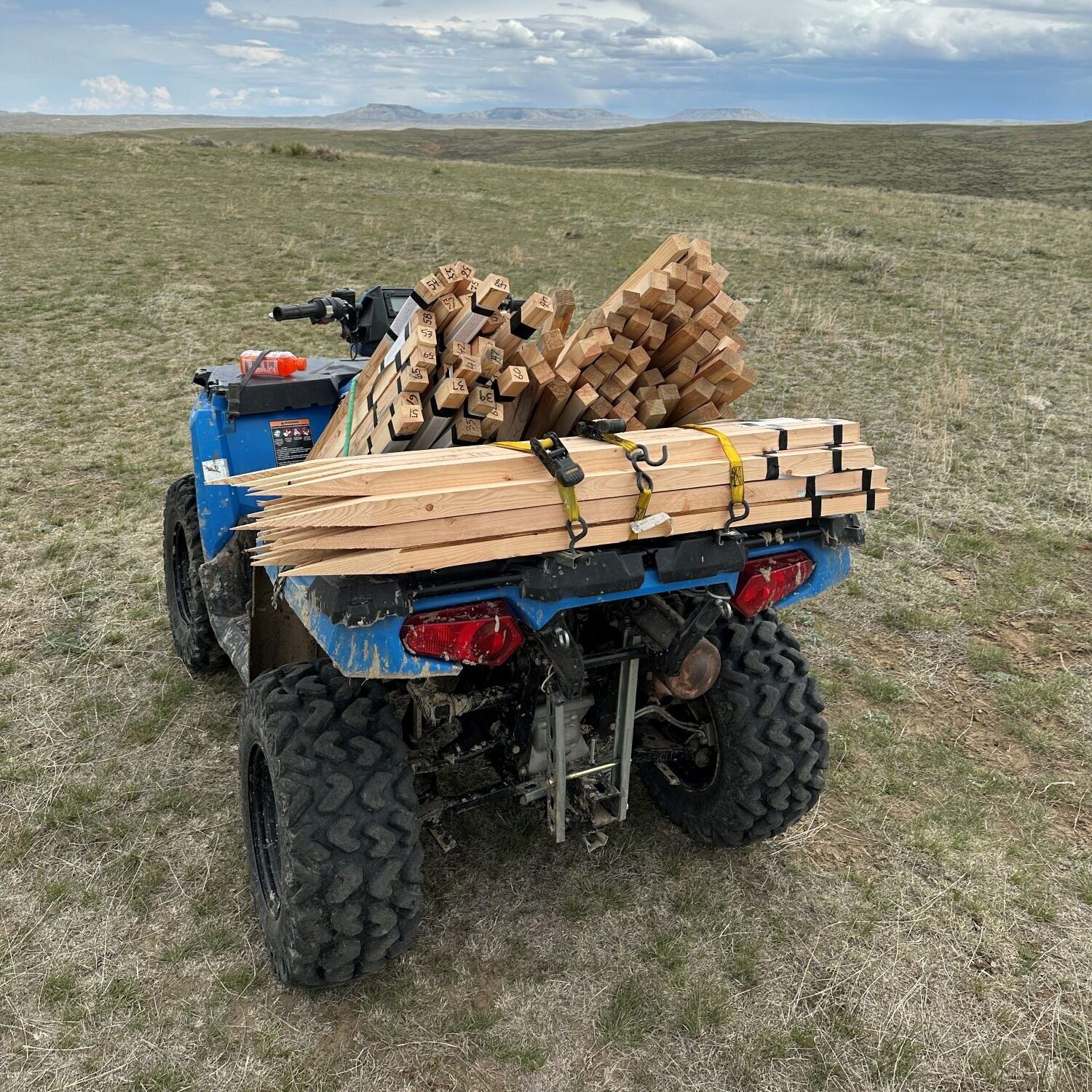
- Claim Staking: Comprehensive claim staking services from fieldwork to paperwork, handling the entire process from start to finish.
- Prospect Generation: Identifying prospects using an extensive database, focusing on Nevada, Arizona, Utah, Wyoming, South Dakota, and the surrounding states.
- Geophysics: Conducting ground magnetic and induced polarization surveys to gather high-quality data.
- Geochemistry: Collecting soil and rock samples and providing grid layout, data organization, and processing.


Leave a Reply